The Town That Walked Out of Its Fortress
Roses · Spain

The Town That Walked Out of Its Fortress

Roses, Spain
111
Duration (min)
3.0
Distance (km)
11
Stops
Easy
Difficulty

Description

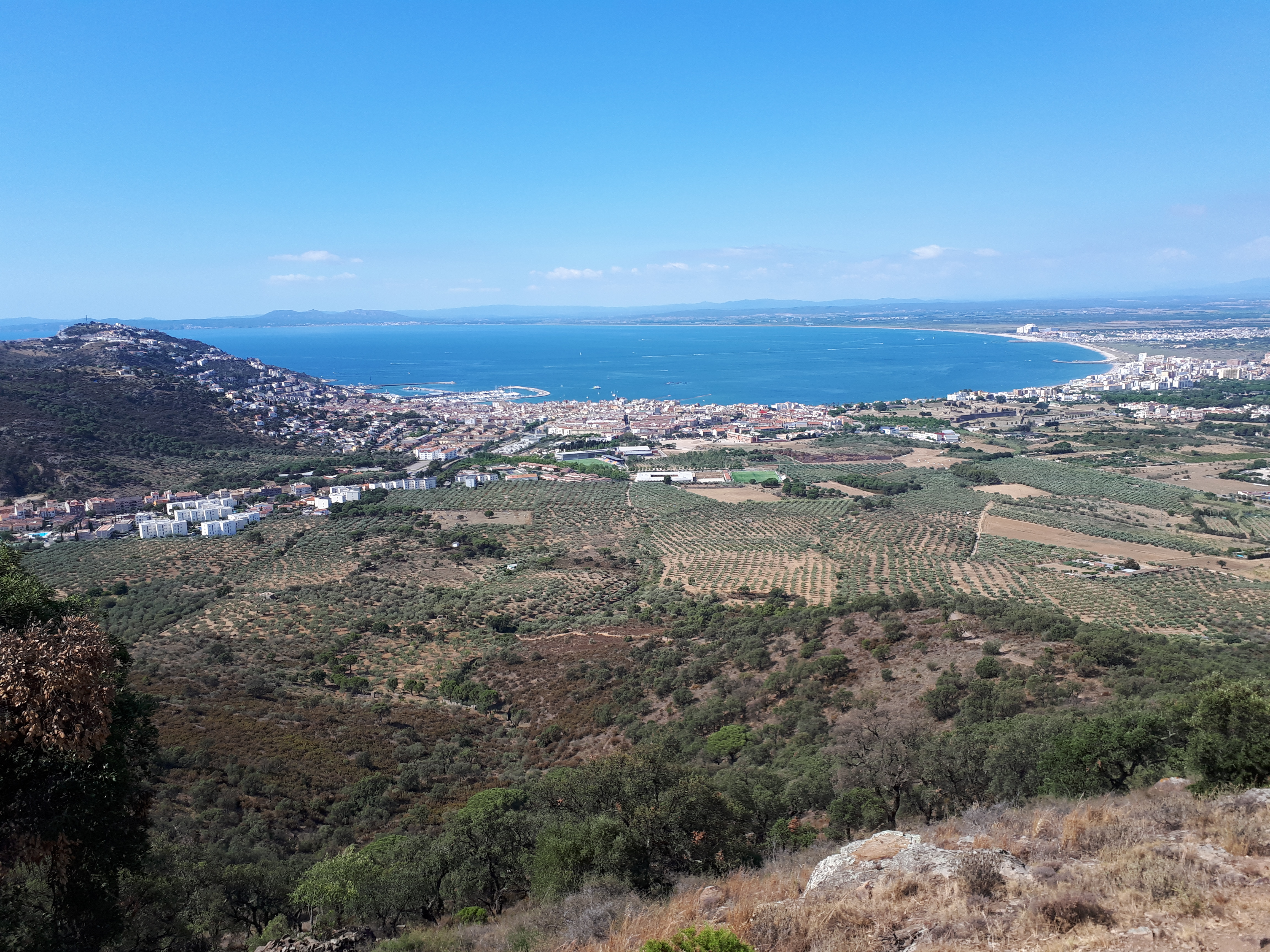
Roses looks like a Costa Brava resort with a ruin on the hill — but the ruin is the old town. Inside the Ciutadella lie a Greek colony that minted coins stamped with a rose, a Romanesque monastery, and the foundations of a medieval village whose people walked out after the siege of 1794 and never came back. This flat three-kilometre walk follows them down to the sea, through the fishing town they built instead, and ends on the quay where the afternoon auction still sells the day's catch.

Highlights

The Ciutadella: a Greek colony, a Roman villa and a Romanesque monastery stacked inside one Renaissance fortress Rhode's silver drachma — the rose that gave the town its name, and the coin forgers across Iberia copied The field of foundations where a whole medieval town stood until a siege emptied it for good A hundred metres of air-raid tunnel dug in 1937 under a square the town later renamed Peace The stream that split the new town into two social halves — and the street named after the women who mended the nets The fish auction on the quay, where the price falls until a buyer shouts 'meu!' — mine
Tour Stops

The Porta de Mar
1

The Porta de Mar

6 min

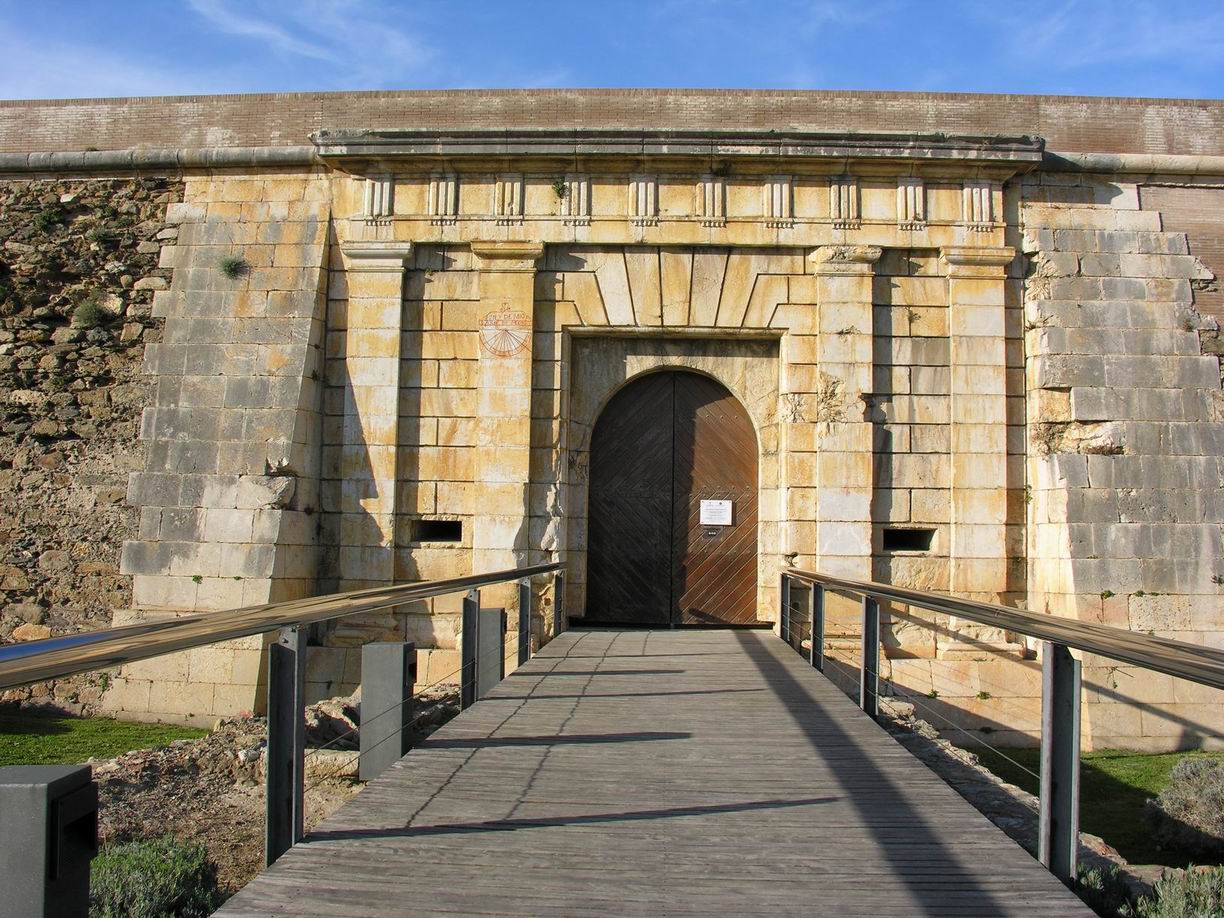
The monumental sea gate of the Ciutadella de Roses, built in limestone on the model of a classical triumphal arch and once defended by a barbican whose foundations still show. It is the main entrance to a 17-hectare fortress that was not a castle guarding the town but the town itself.
The Hellenistic Quarter of Rhode
2

The Hellenistic Quarter of Rhode

7 min

The excavated street grid of Rhode, the Greek colony that stood here from at least the 4th century BC and reached its peak in the 3rd, when it rebuilt this quarter as a pottery-making district. It was one of only three settlements on this coast to strike its own coinage — silver drachmas stamped with a rose and the legend RODETON, which is where the town's name comes from.
Monestir de Santa Maria de Roses
3

Monestir de Santa Maria de Roses

7 min

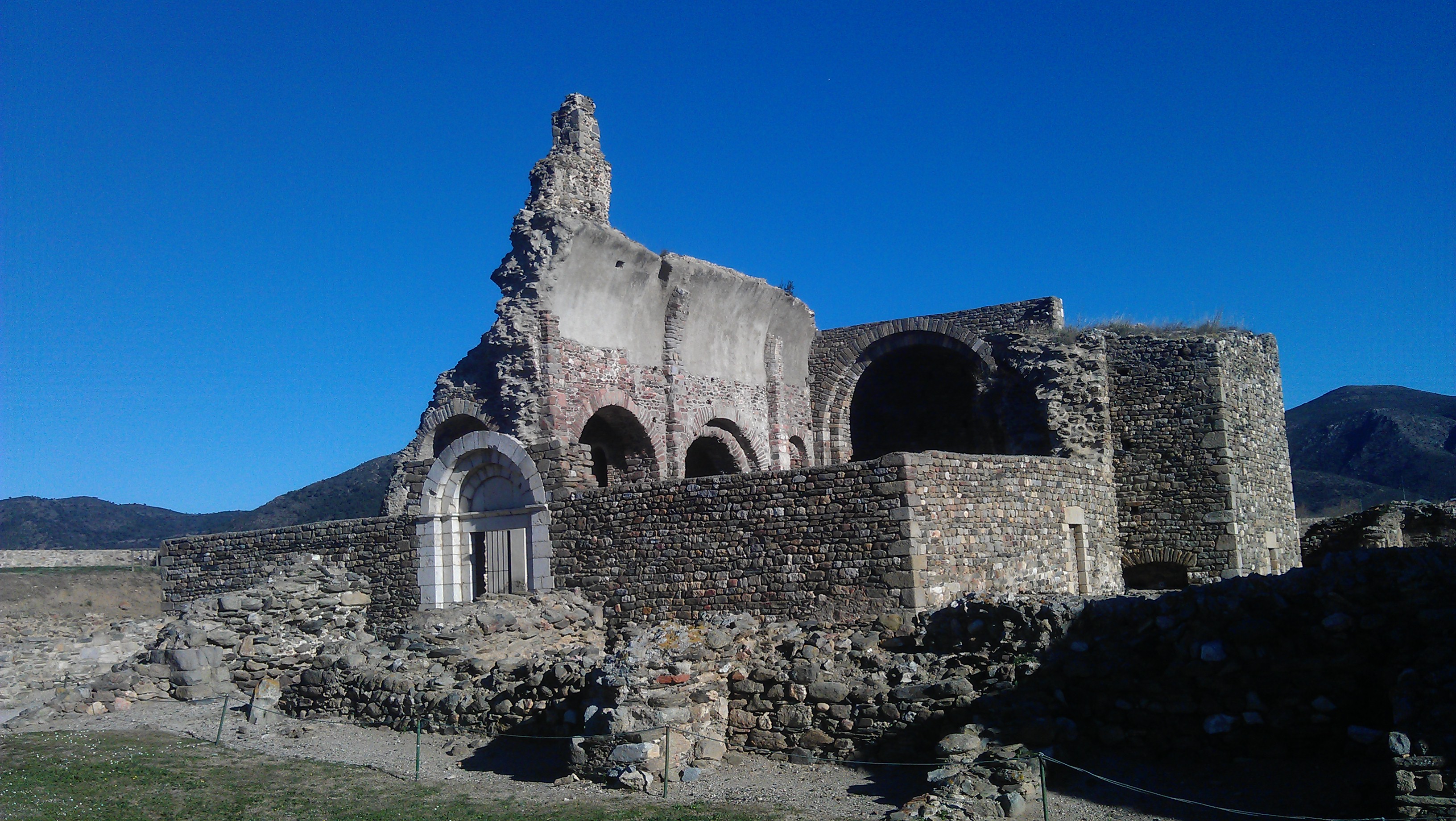
The Benedictine monastery of Santa Maria de Roses, documented from around 944, whose Lombard Romanesque church was consecrated about 1060-61 and is cited as the earliest known building of that style in Catalonia. Abandoned by its monks in 1792 and destroyed by French troops in 1793, its three naves, transept, three apses and cloister fragments are still legible on the ground.
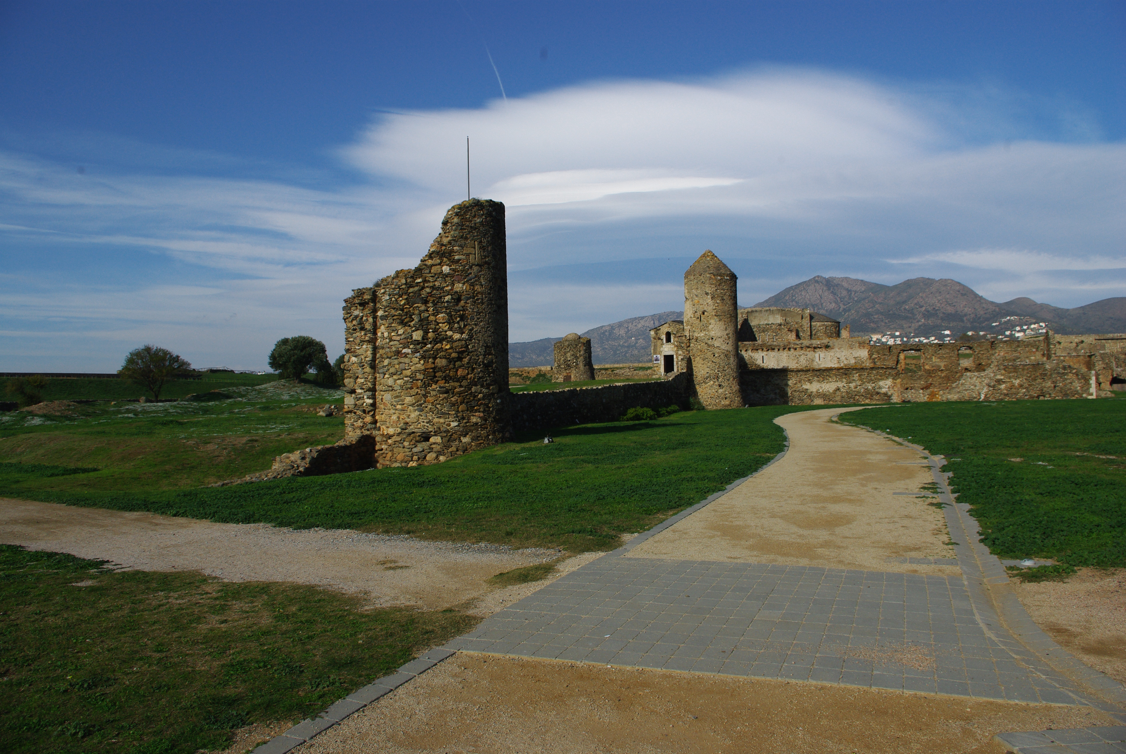
The Empty Medieval Town
4

The Empty Medieval Town

7 min

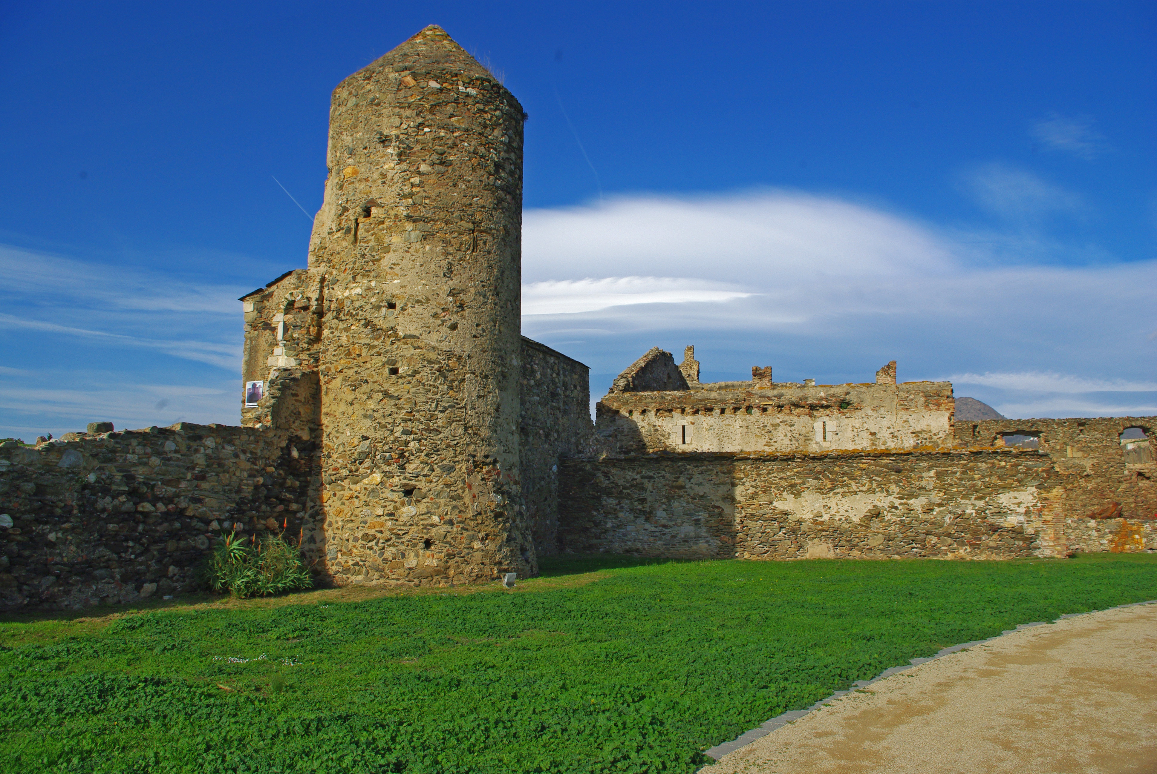
The excavated remains of the medieval town of Roses, which lived inside these walls behind successive defensive perimeters until the French capture of the fortress in the War of the Pyrenees, 1794-95. The population abandoned the enclosure for good after that siege and settled permanently in the suburb outside, by the port and the stream, which is the town that exists today.
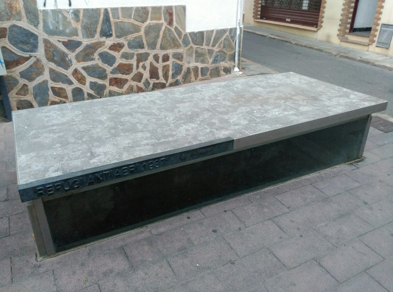
The Air-Raid Shelter
5

The Air-Raid Shelter

6 min

Beneath Plaça de la Pau lies a hand-dug air-raid shelter built in 1937-38: roughly 100 metres of ceramic-vaulted tunnel, one metre wide and two metres high, cut about three metres into the subsoil across three branches. Roses was bombed on 24 August 1937, 7 February and 17 August 1938, and on 6, 7 and 8 February 1939, and the square above was later named for peace; the interior can be seen on guided visits only.

Plaça de Catalunya and the Three Roses

6 min

The square at the centre of modern Roses, home to the town hall, the covered municipal market and the Sunday weekly market. Its coat of arms of three red roses was made official in 1992, while an older carved stone shield of unknown origin sits indoors at the centre of a long-running heraldic dispute.
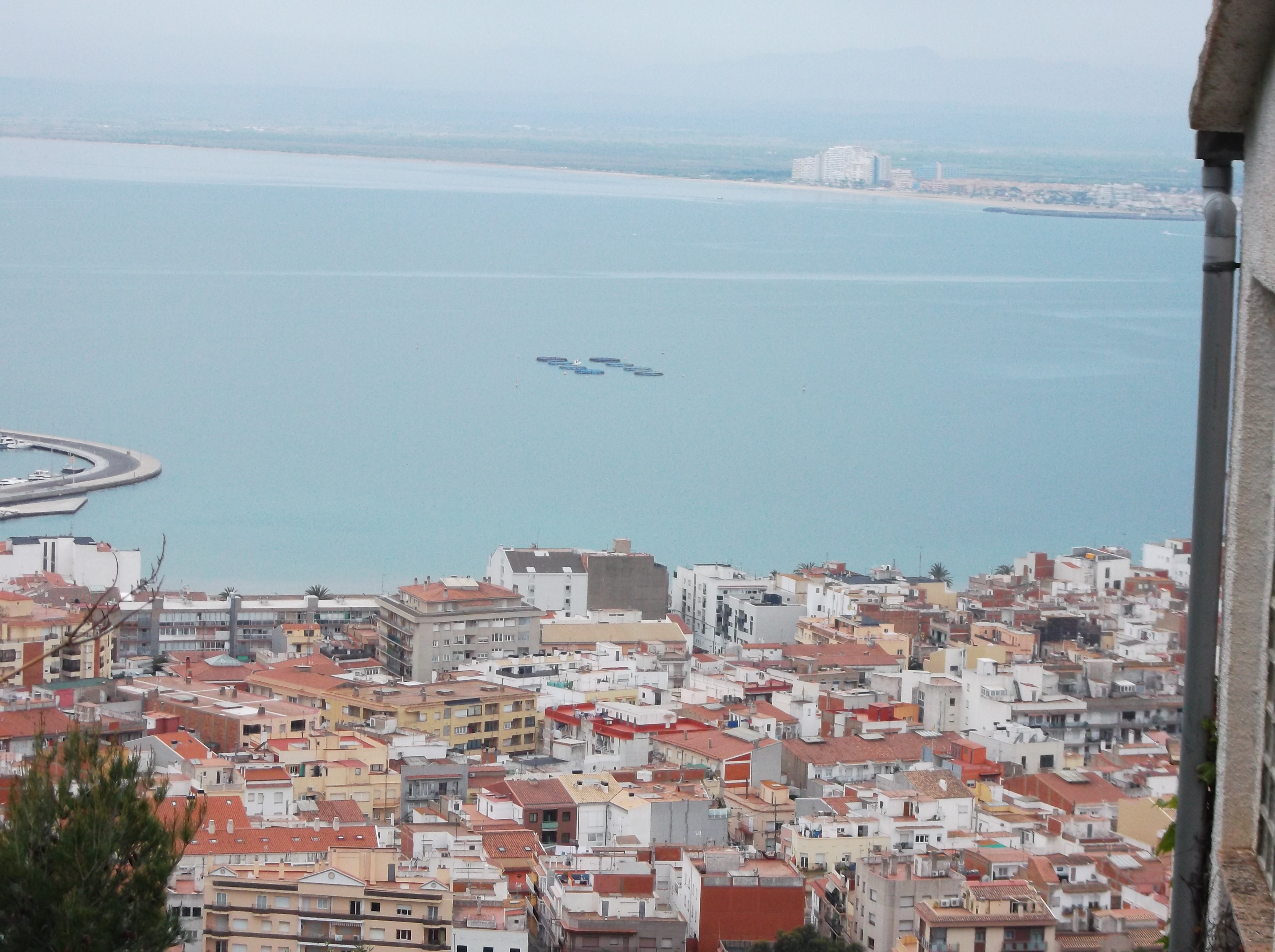
The Riera Ginjolers
7

The Riera Ginjolers

5 min

A canalised seasonal stream running down through the centre of Roses, crossed by most visitors without a second glance. From the eighteenth century onwards it formed the boundary between two socially distinct halves of the new town: the dense fishermen's quarter of la Punta to the east, and the merchant quarter of Roses to the west.
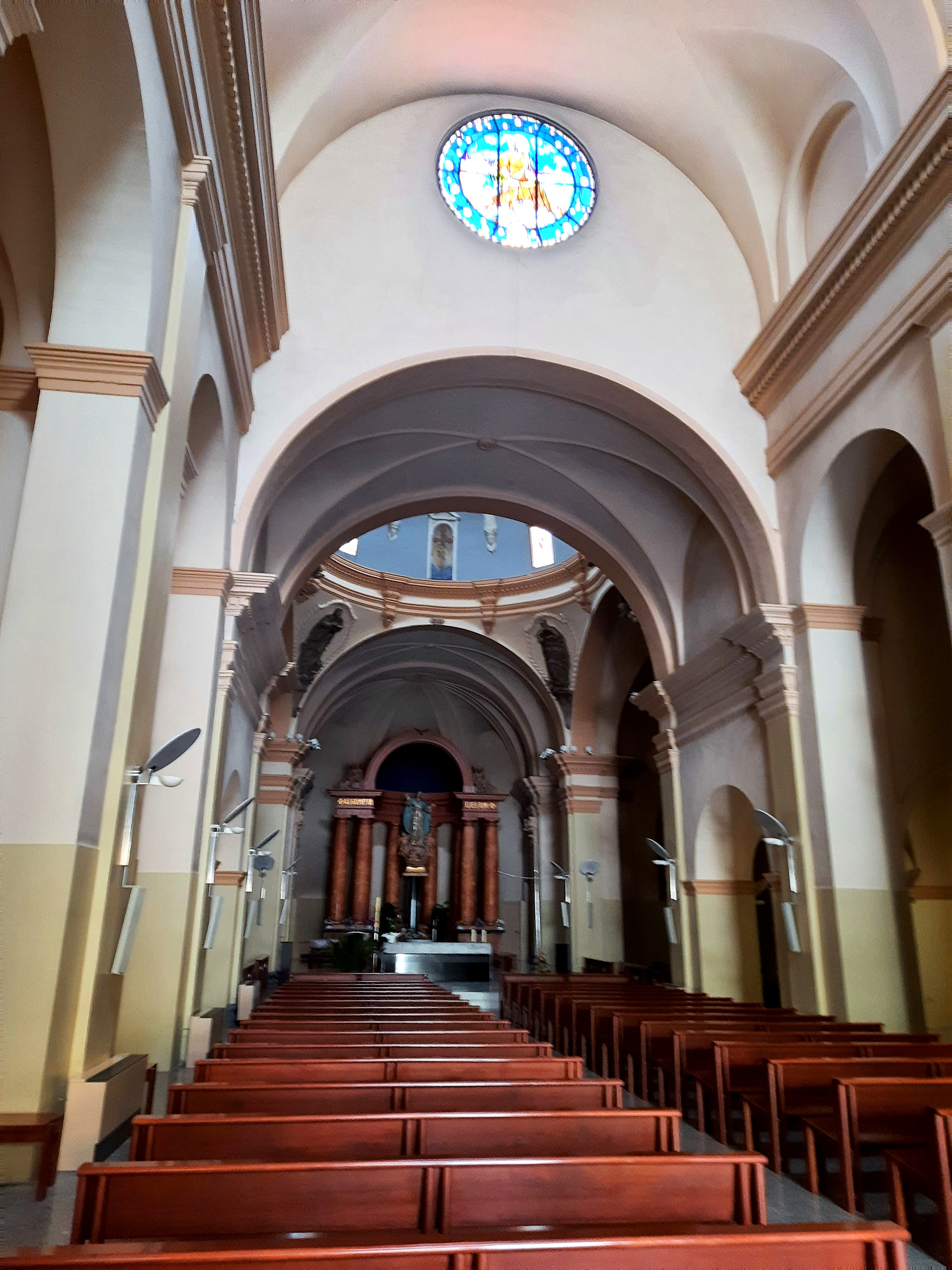
Església Parroquial de Santa Maria
8

Església Parroquial de Santa Maria

6 min

The neoclassical parish church begun in 1792 on open ground outside the fortress, built with the enthusiastic backing of the military because civilians walking into the citadel for mass were a security nuisance. Its upper naves and facade sit 1.2 metres higher than the older apse and transept, a discrepancy local historians have never explained.
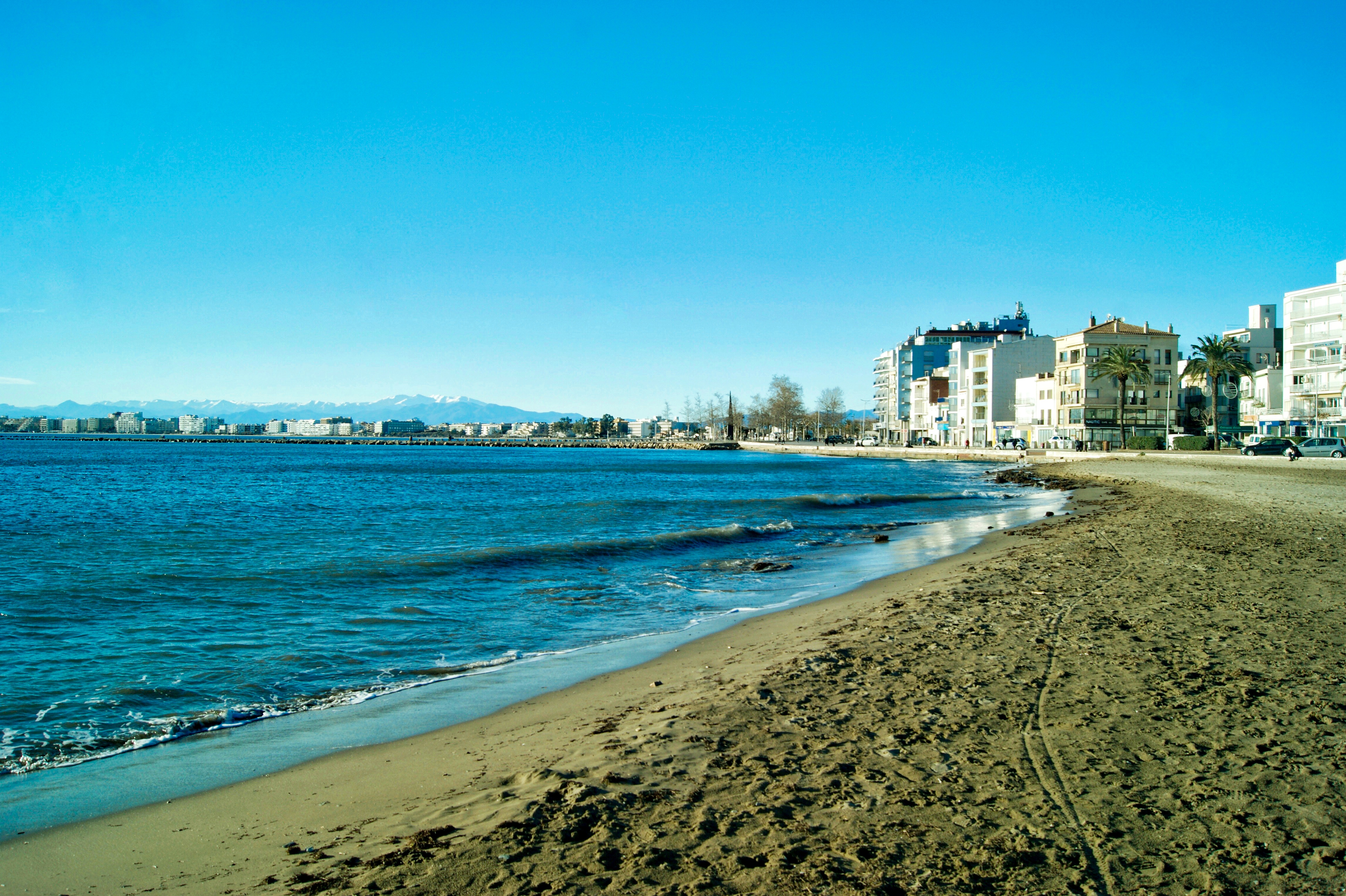
Platja de la Punta
9

Platja de la Punta

7 min

The open beach at the eastern edge of town, looking across the Golf de Roses to the Aiguamolls de l'Emporda wetlands, the site of the Greek colony of Emporion and the Pyrenees behind. It is also the best place in Roses to stand in the tramuntana, the polar north wind that has shaped the coastline, the vegetation and a good deal of the local character.
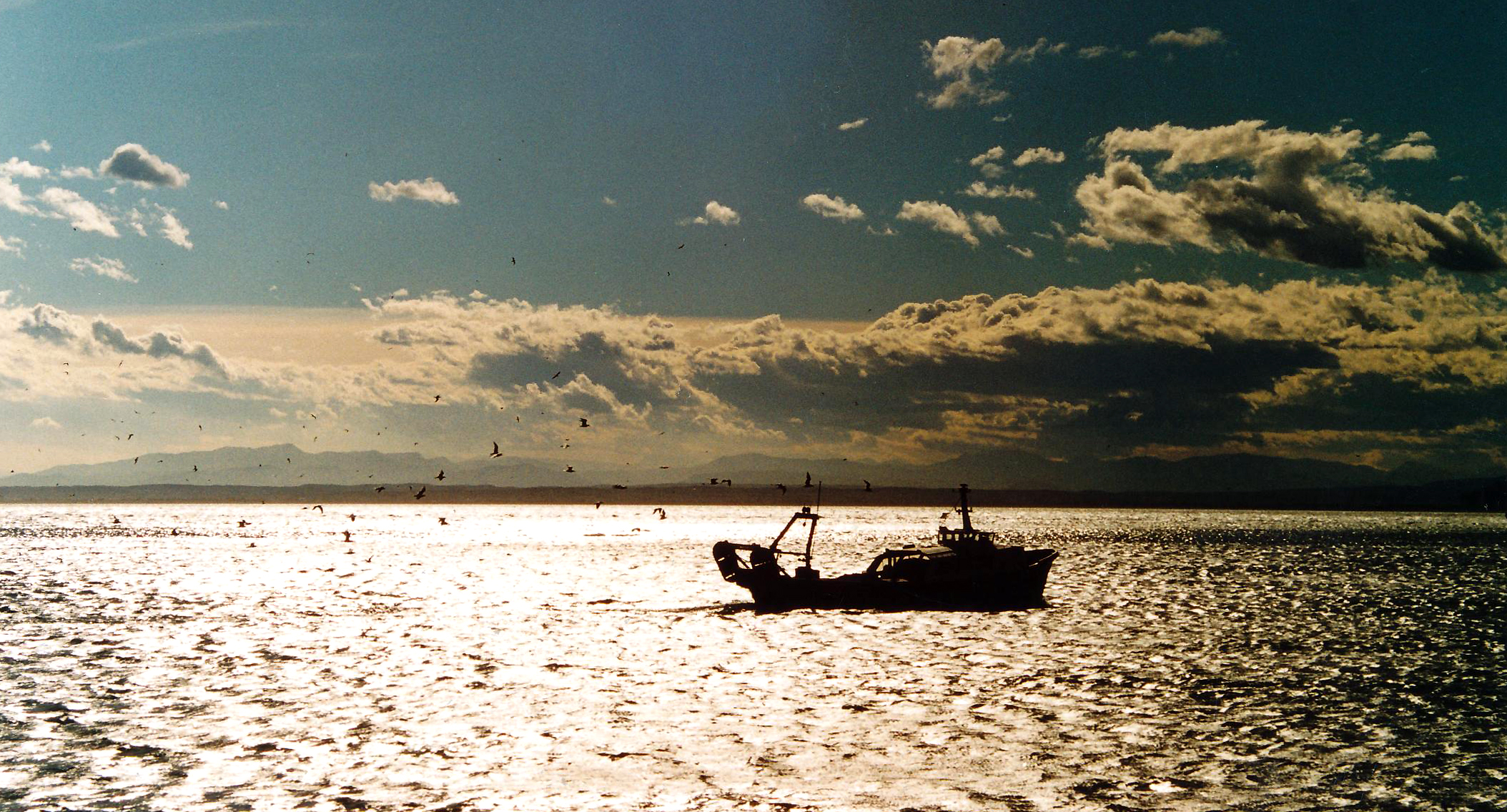
Barri dels Pescadors
10

Barri dels Pescadors

6 min

A hundred austere social-housing dwellings built for fishing families by the Instituto Social de la Marina in two phases, 1959 and 1970. Its four street names carry the neighbourhood's social history, from the women who mended the nets to a Franco-era name the residents simply do not use.
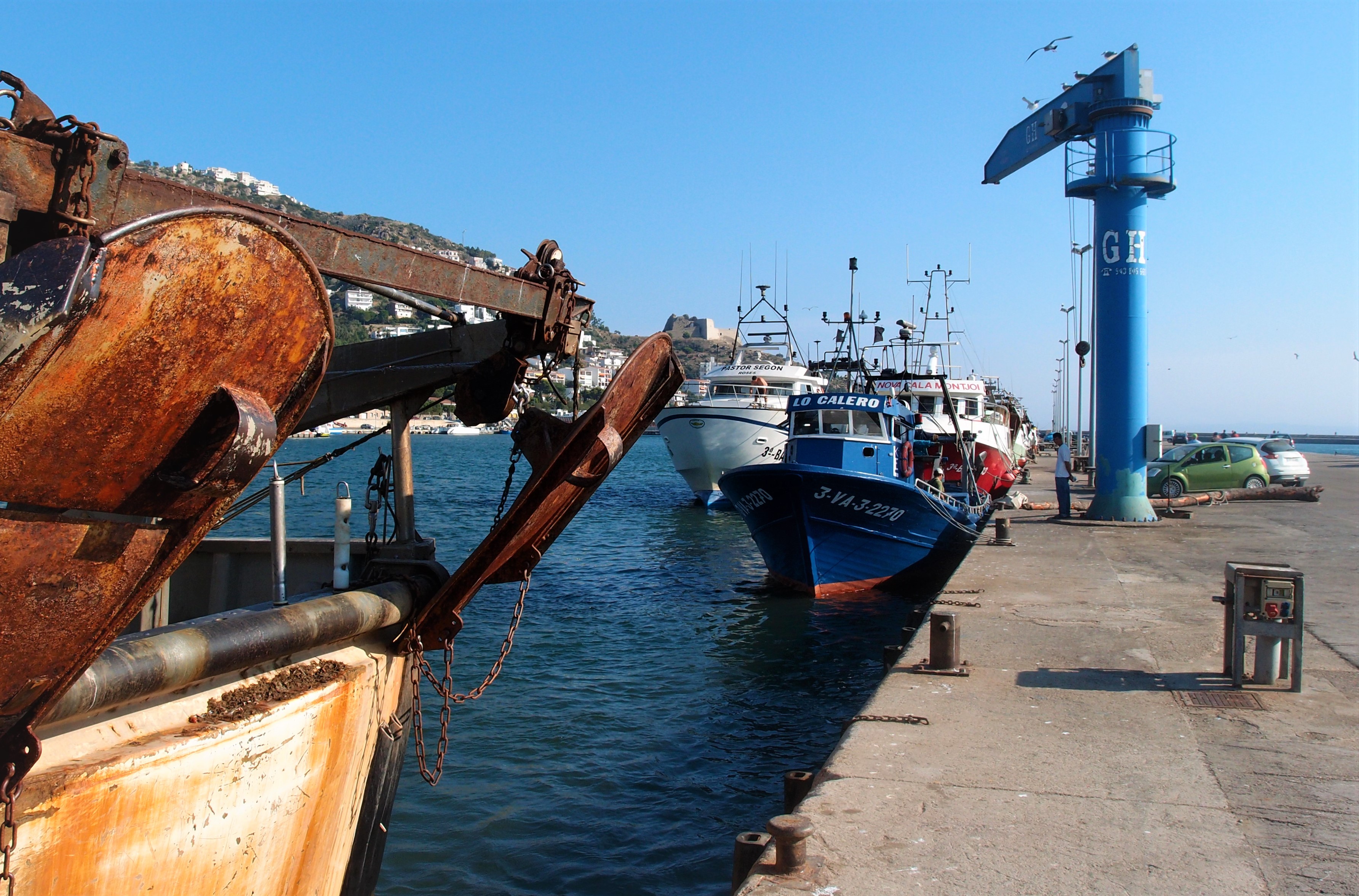
The Fishing Port and the Llotja
11

The Fishing Port and the Llotja

8 min

Roses' working fish quay, where the Confraria de Pescadors — founded as a Pòsit in 1921 — runs two auctions a day, Monday to Friday, selling blue fish in the morning and the trawl catch in the late afternoon. The auction is a descending-price one, historically stopped by a buyer shouting 'meu!', and the fleet of around forty boats still makes this one of Catalonia's three most important fishing ports.

A Taste of the Tour

This is the real story from one stop on this walk — every stop has one.

The Porta de Mar

Welcome to Roses. You are standing at the front door of a town that isn't there any more. Take a second before you walk in, because this is the bit most visitors get wrong. From the road it looks like the usual arrangement: a fortress up on the rise, a resort town below it, the two politely ignoring each other. It isn't that. There is no castle-above-the-town here. This enclosure in front of you IS the town, or was. Streets, houses, a church, people who were born and married and buried inside these walls without ever needing to leave them. So the question this walk keeps asking is a simple one: where did the town go? You'll find the answer in layers — Greek, then Romanesque, then medieval — and then you'll do something better than read about it. You'll walk it. Every stop from here leads downhill, out of the walls and toward the water, the exact route the people in here took when they finally gave up on the place. Two and a bit kilometres, all of it gentle, and at the bottom of it their descendants are still working. Let's start where they started. At the gate. Stand back from this gate for a moment, far enough that you can see the whole of it, and ask yourself what you are actually looking at. Because it is not really a door. Doors are functional. This is a monumental block of pale limestone with a rounded arch set between flanking pilasters and an entablature riding above it, and the whole composition is lifted more or less wholesale from a Roman triumphal arch. Somebody sat down in the sixteenth century and decided that the way into this place should look like the thing emperors built to march their armies home through. That is your first clue. Nobody builds a triumphal arch for a barracks. So here is the reveal, and it is the question the next two hours keep answering: where did the town go? This is not a castle standing above a town. This was the town. Behind these walls is where Roses lived: streets, houses, a church and a market. You are standing at the front door of a place that is not there any more, and every stop on this walk is another step in working out where its residents went. Look at the ground on either side of the gate. Those low foundations, easy to walk straight past, are what survives of the barbican, an outer defensive work that stood in front of the entrance so that anyone coming through had to make a turn under fire rather than charge straight in. The triumphal arch was the ceremony. The barbican was the honest part. And if you want a measure of how deliberate that ceremony was, remember it when you reach the far side of the site, where the Porta de Terra faces inland. That gate is a hole in a wall. No pilasters, no entablature, nothing. This one faces the sea, and the sea is where anyone worth impressing arrived from. The dates are worth having. In 1543 Charles V ordered the place built. The engineer Luis Pizano proposed earthworks first, cheap and quick, which is what you want when you think the French are coming. By 1545 they had switched to stone and a design with four bastions. Then in 1553 the Italian engineer Giovanni Battista Calvi produced the definitive scheme, five bastions, the shape that is still under your feet. It went on being adjusted, patched and thickened for the best part of a century, and only settled into the form you see around 1642 to 1645. And it is enormous. An irregular pentagon roughly a kilometre across, 1,013 metres if you like precision, with two concentric levels of defence. The inner wall runs 1,218 metres and stands nine metres high, and it is buttressed every two metres along its entire length. Every two metres. Walk the inside of it later and you will feel the rhythm of it. The five bastions all carry saints' names: Sant Joan and Sant Jordi to the west, Sant Andreu to the north, Sant Jaume and Santa Maria to the east. Why here, though? Not vanity. The port of Roses was a link in a supply chain. The Habsburgs held both Spain and large parts of Italy, and the ships moving between the two needed a defensible bay on this coast. Add the French pressing from the north, and the Barbary and Ottoman raiders working the western Mediterranean and lifting people off the shoreline to sell, and a fortified harbour halfway along the route stops looking extravagant and starts looking like basic accounting. One thing to look for before you go in, out on the seafront promenade. There is a bronze figure, life size, a sixteenth-century master builder crouched over a scale model of this very fortress, studying it. He was installed in 2017 and he is one of a pair. His colleagues are further along at Plaça de les Botxes, an engineer and a foreman in the middle of a full argument over a blueprint. The reasoning behind putting them on the promenade was blunt and rather good: thousands of people walk that seafront every summer looking out at the water, and the sculptures were commissioned to make a few of them turn round and look inland at this instead. So, through the gate. Somewhere behind it there is a Greek colony, and a monastery, and a field of foundations, and we will get to all three. But keep hold of the arch itself, because there is one particular stretch of days in this town's history when the people living inside this fortress came out through this opening carrying what they could and did not go back in. When we reach that spot, at stop four, I want you to be able to picture the door they used. A practical word first. The Ciutadella is a ticketed site: five euros, free under sixteen, and it is closed on Mondays. If you would rather not pay, or you have arrived to find the gate shut, stay out here. The next three stops work perfectly well listened to from outside the walls, and I will tell you when we come back out.

Nearby Cities

Back to Roses Tours

Cookie Consent

We use cookies to analyse site traffic and improve your experience. You can choose to accept or reject analytics cookies. Learn more