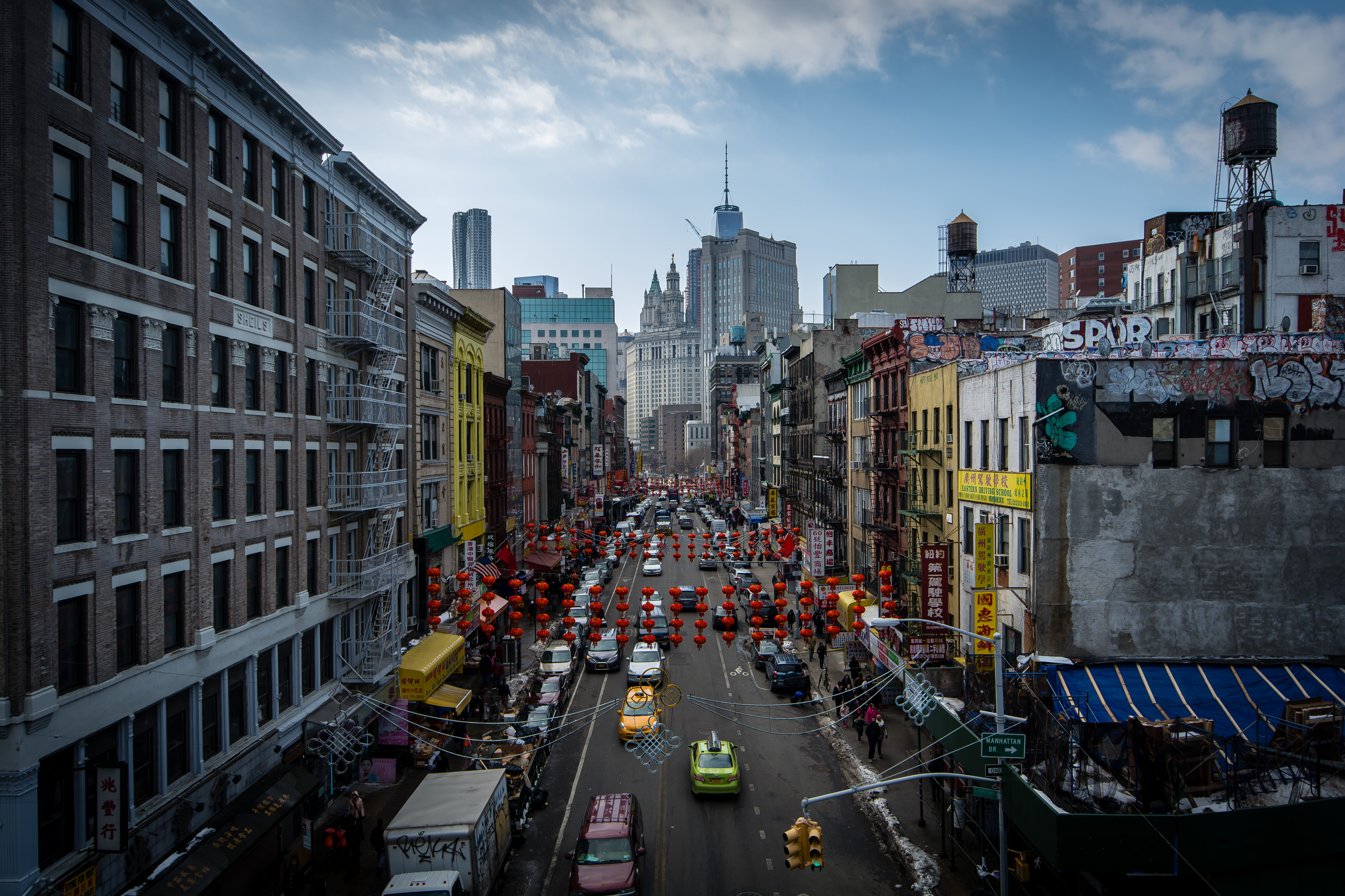
New York · United States
Buried Water, Broken Ground
New York, United States
The African Burial Ground, lost for two centuries and rediscovered by a construction crew in 1991 Collect Pond Park, where a 60-foot-deep lake is buried under an unremarkable square Doyers Street, whose blind bend follows a colonial cart path and made it the city's best ambush point Columbus Park, the Five Points site, and the gang mythology the record does not support A church on Mott Street that has served four different immigrant congregations without being rebuilt
A sixteen-foot gilded Buddha fills the screen wall of a converted 1920s cinema at the noisy mouth of the Manhattan Bridge approach, Chinatown's largest Buddhist temple since 1997.
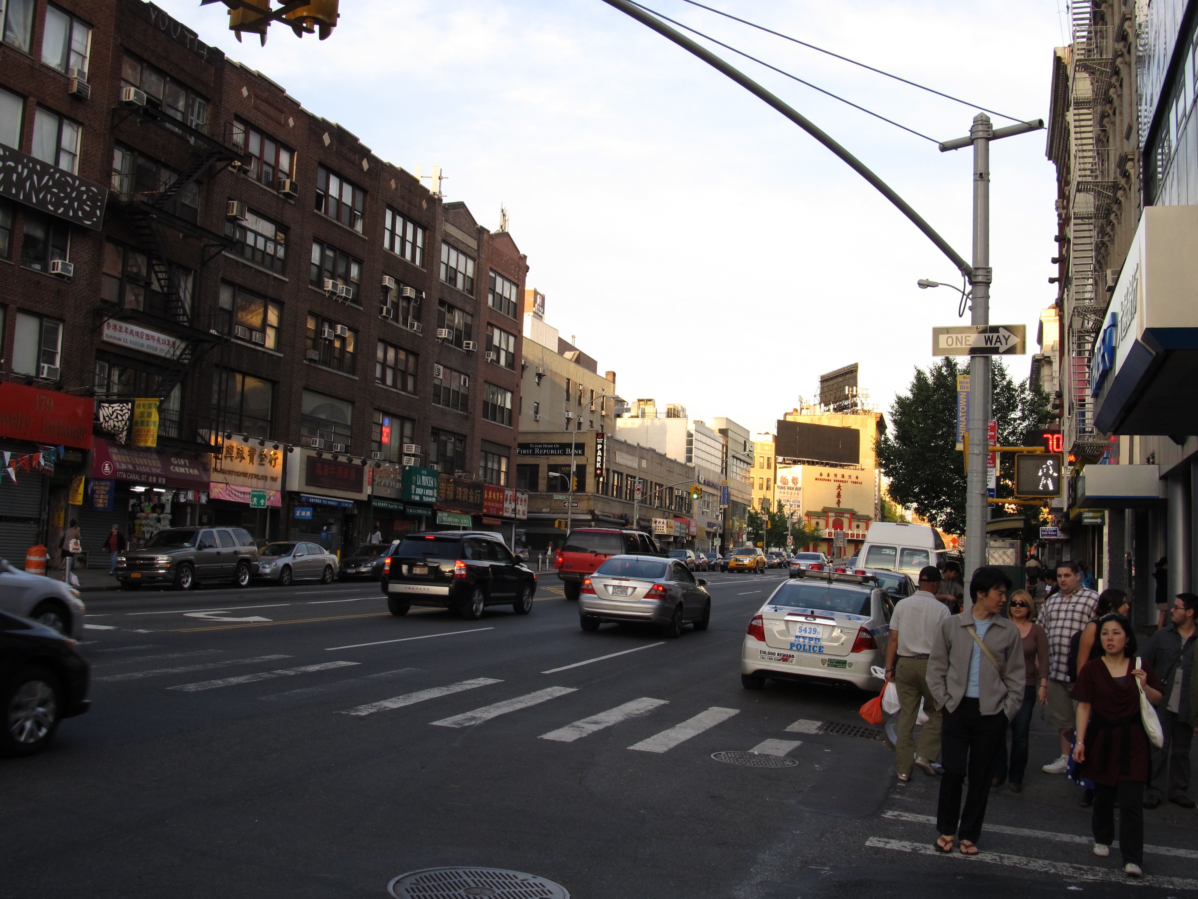
Canal Street is unusually wide because it was once an open drainage canal, dug around 1811 to carry water away from the neighborhood and covered over by the 1820s. Today it also marks a sharp cultural boundary between Chinatown and SoHo, and hosts one of the city's most famous open markets for counterfeit goods.
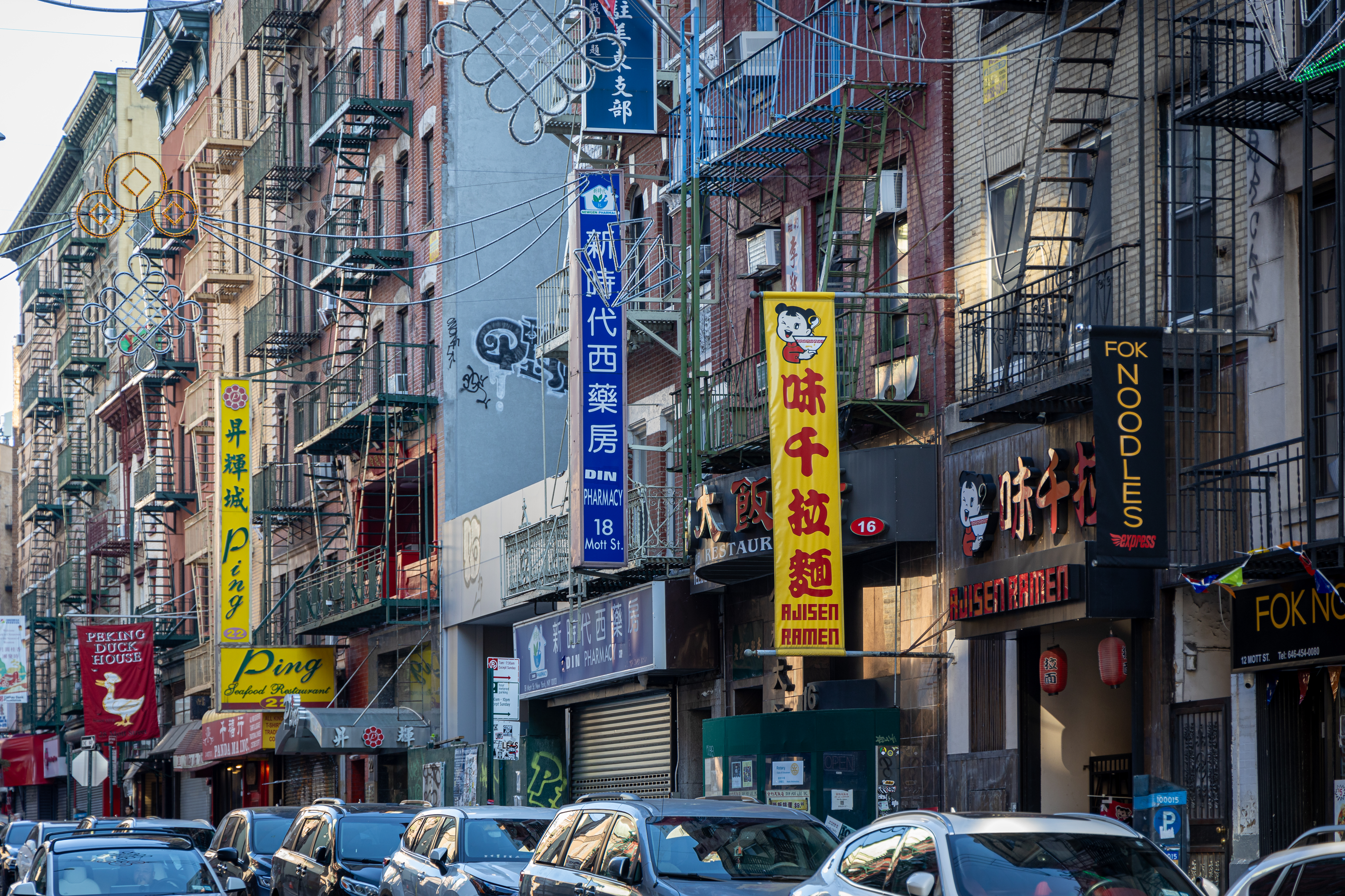
Mott Street is the oldest spine of one of the Western Hemisphere's largest Chinatowns, a community whose defining decades-long shape as a bachelor society was set not by the ground beneath it but by federal immigration law.
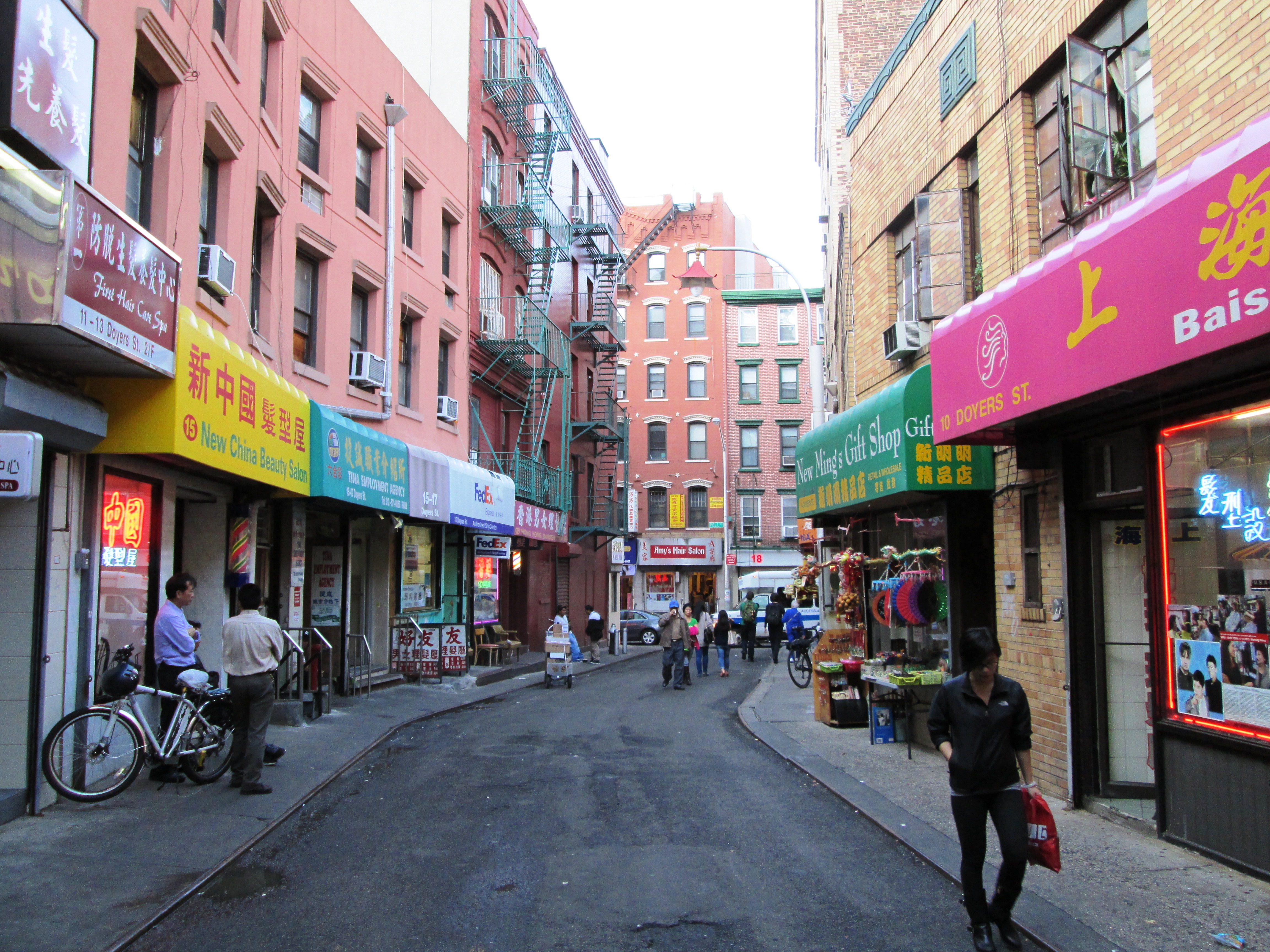
Doyers Street's single sharp bend is a colonial-era farm lane that survived the city's 1811 grid, and the blind corner it created made this the most notorious ambush point of Chinatown's early-1900s tong wars, nicknamed the Bloody Angle.
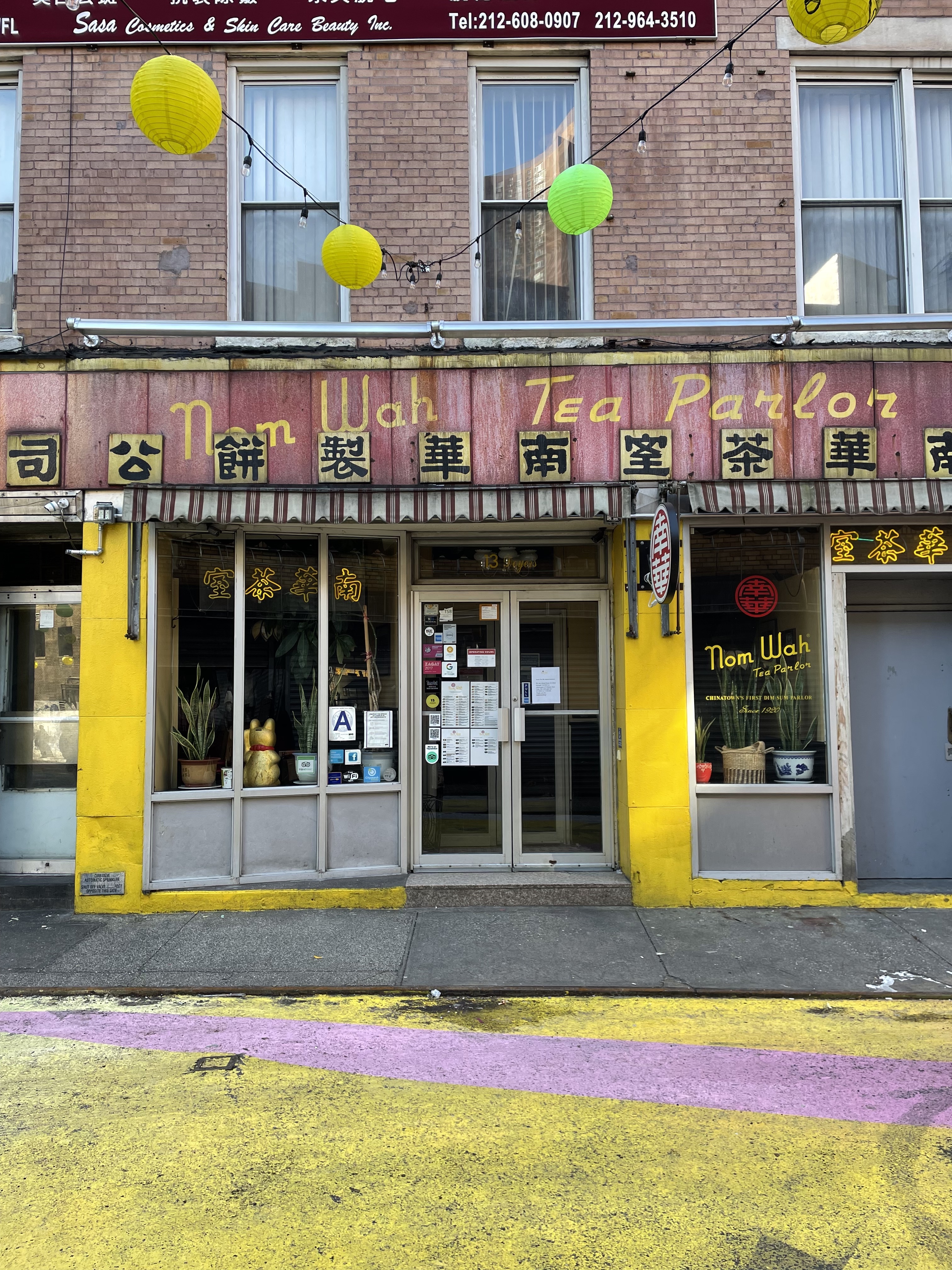
Opened in 1920 as a bakery and tea parlor, Nom Wah is the oldest continuously operating restaurant in Manhattan's Chinatown, having passed through only three owners in over a century.
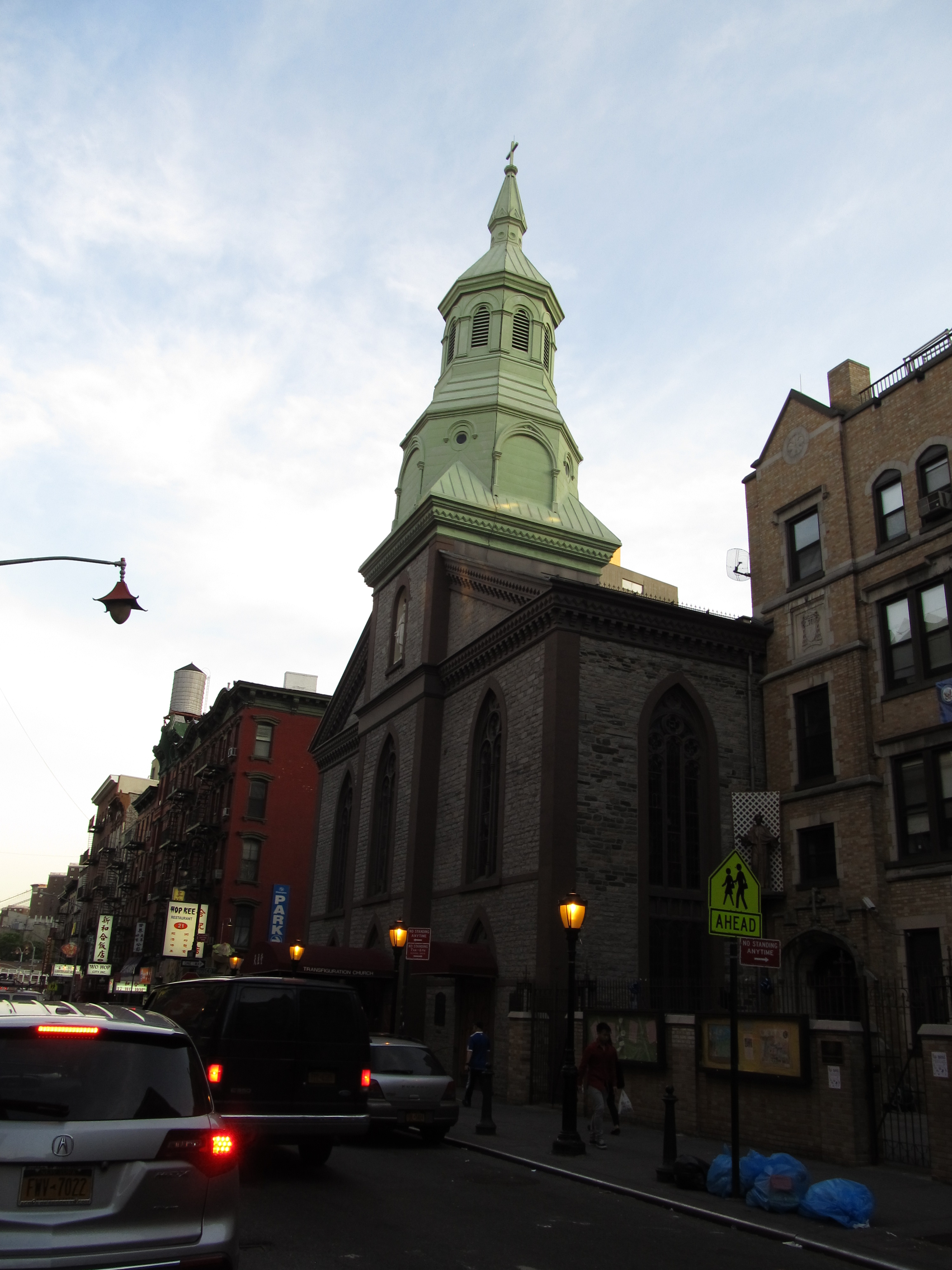
The Church of the Transfiguration at 29 Mott Street has occupied the same unaltered 1801 fieldstone building through four successive congregations -- English Lutheran, Irish Catholic, Italian, and today a majority Chinese Catholic parish holding Mass in Cantonese, Mandarin and English.
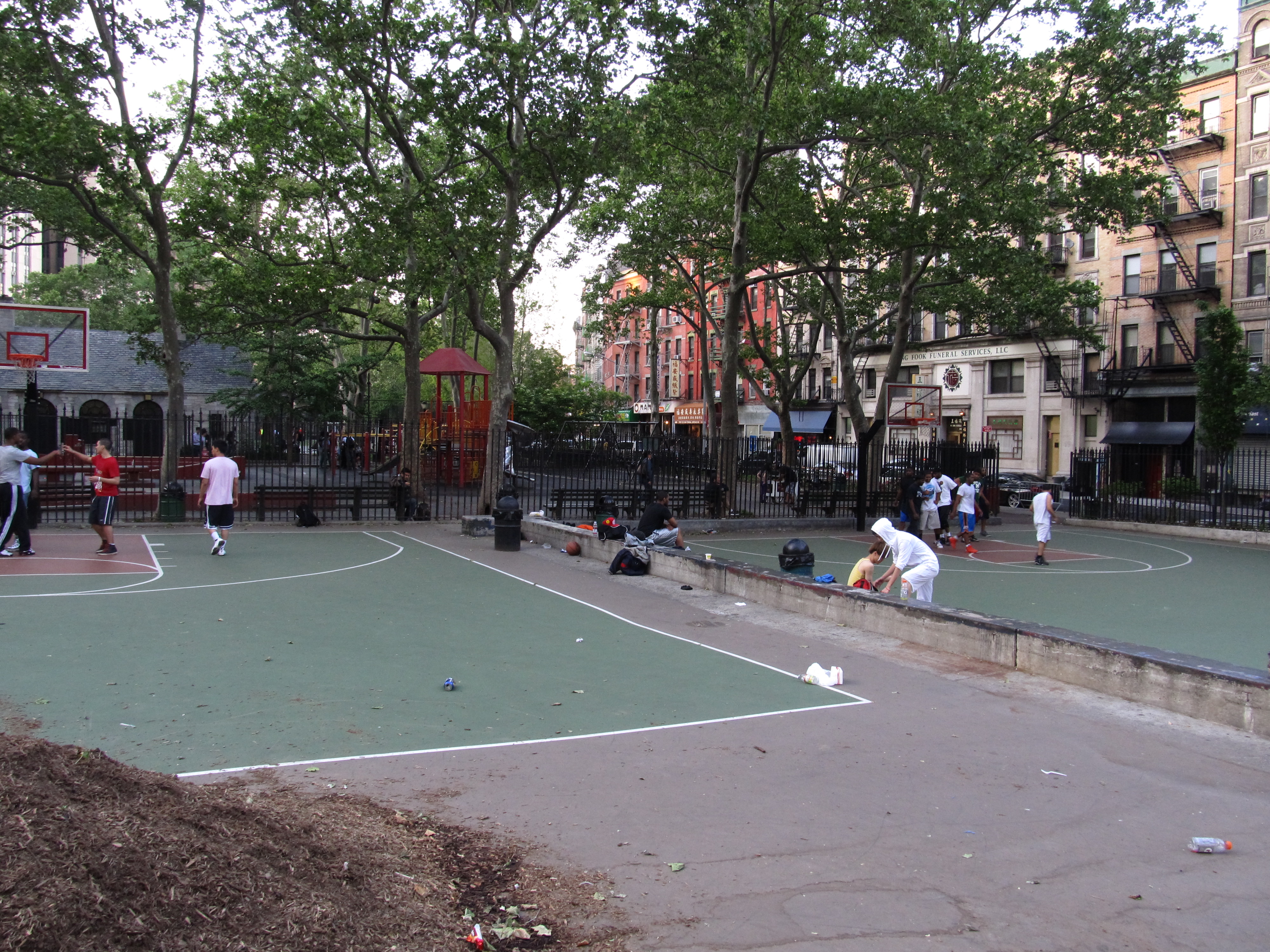
Columbus Park sits on the former heart of Five Points, the notorious 19th-century slum cleared and grassed over in 1897 after a journalist's photographs shamed the city into action.
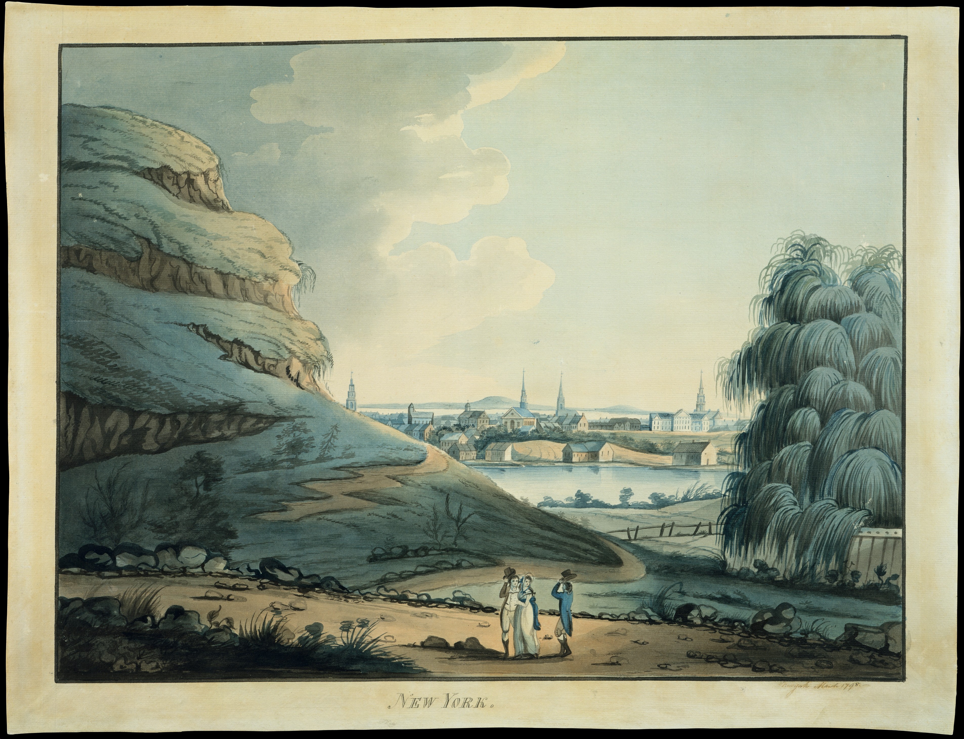
A rectangular reflecting pool the size of a swimming lane marks the site of a 48-acre, spring-fed freshwater pond up to 60 feet deep that once supplied Manhattan's drinking water. Poisoned by the tanneries and slaughterhouses on its banks, it was filled in badly between 1803 and 1811, leaving soft, sinking ground that only the poorest New Yorkers would inherit.
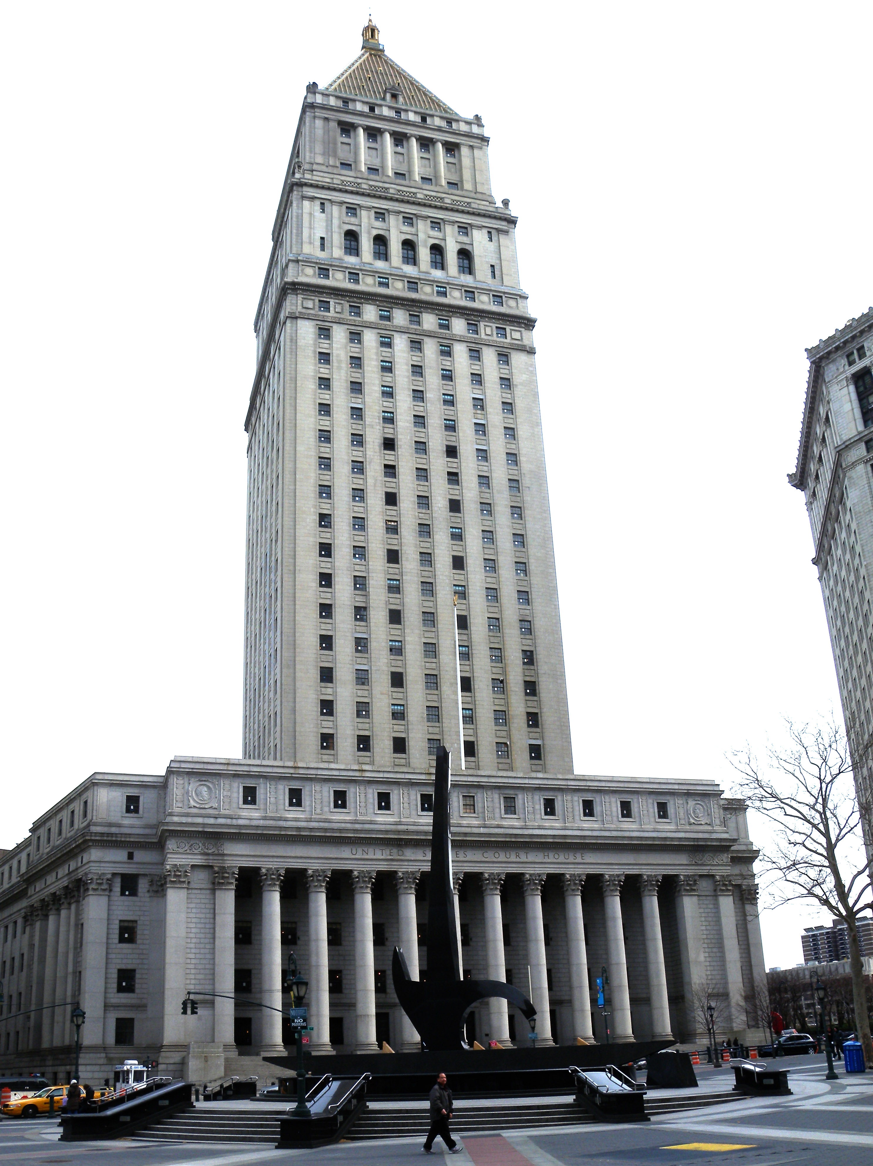
Foley Square is ringed by three courthouses built directly on the drained pond and the old slum's northern edge, and its paving still traces the vanished shoreline underfoot.
A National Monument marking a roughly 6.6-acre burial ground where an estimated 15,000 enslaved and free Africans were interred between the 1690s and about 1795, before the site was closed, built over and forgotten. It was rediscovered in 1991 when a federal construction crew struck intact burials 25 feet down; 419 individuals were studied at Howard University and reinterred here in 2003.
This is the real story from one stop on this walk — every stop has one.
An ancient dietary rule forbids mixing meat and dairy — so no shop could sell both, and the Lower East Side's food trade…
The blocks of SoHo look like carved stone palaces and almost none of it is stone. These facades were ordered from…
Two things are true about the Bronx and neither cancels the other: it holds one of the great Art Deco boulevards in…
We use cookies to analyse site traffic and improve your experience. You can choose to accept or reject analytics cookies. Learn more


